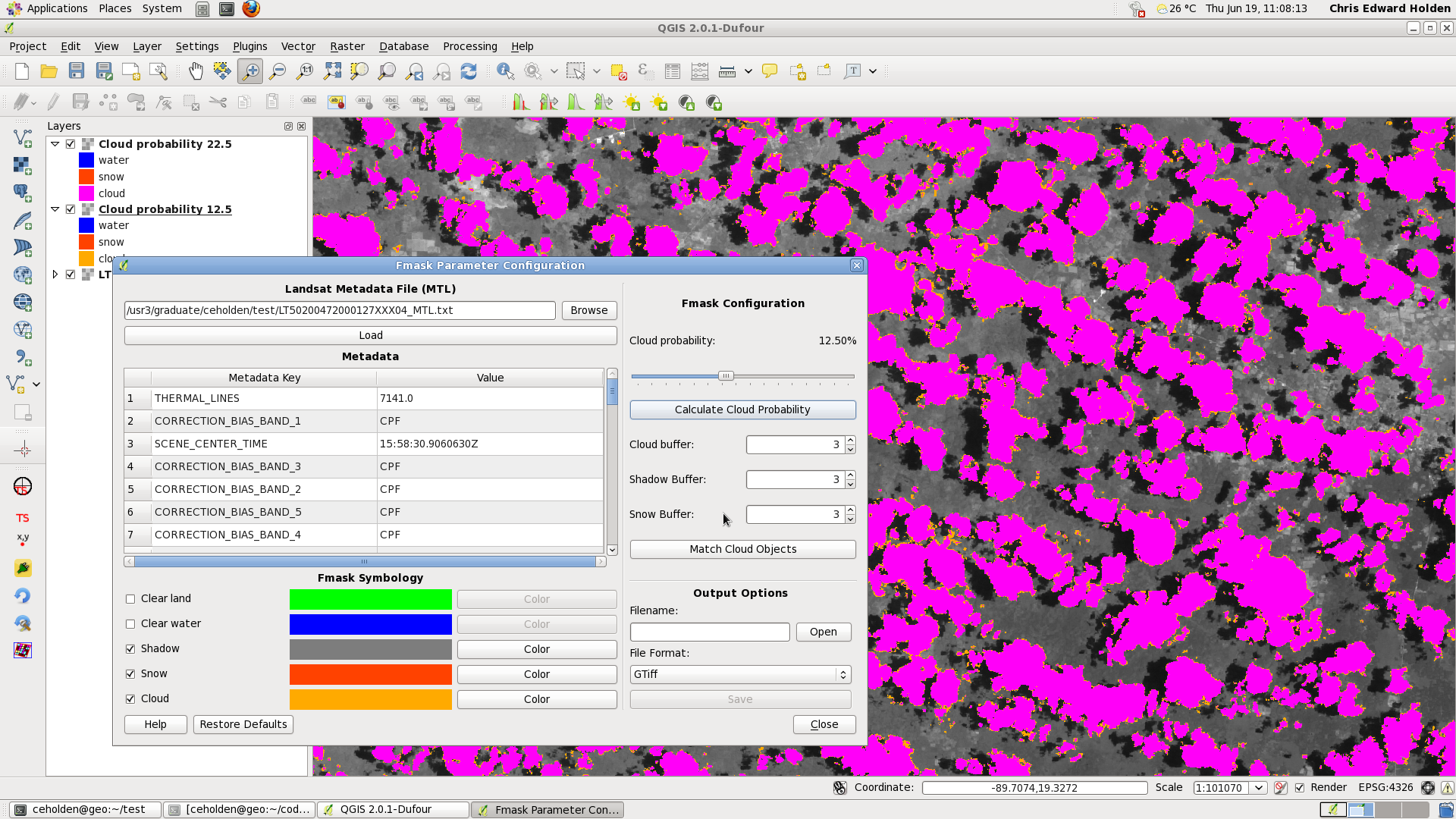
QGIS plugin for testing Fmask cloud masking configuration settings
This plugin aims to help guide the decision of which parameters should be used for any given image when creating Fmask cloud mask images.
- Quickly visualize effect of changing cloud probability threshold after first cloud probability mask has been generated
- Visualize effect of cloud, shadow, and snow mask dilation parameters
- Ability to save generated Fmask cloud mask in variety of GDAL supported formats with option to include color table
Here is an example which displays two different cloud probability masks using the default parameter (22.5) and one more less likely to omit clouds but more likely to commit non-cloud objects (12.5).
- QGIS 2.0.1 or above
- Python 2.7 or above (tested on 2.7.5)
- Python numerical libraries
- NumPy
- numexpr
- ...
and more...
Fmask cloud and cloud shadow masking for Landsat data has been published here by Zhe Zhu.
Fmask software and more information from the author is available on his Google Code page.